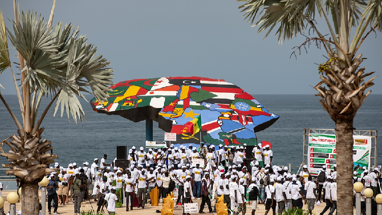
The United Nations has officially passed a resolution advocating for a departure from the traditional 16th-century Mercator projection. This initiative, spearheaded by Togo and supported by various African nations, aims to address long-standing cartographic distortions. The Mercator map is criticized for exaggerating the scale of landmasses located near the poles while diminishing the perceived size of regions closer to the equator. By promoting maps that provide a more precise representation of global geography, the African Union seeks to challenge the historical narrative that has often depicted the continent as peripheral. The resolution serves as a formal step toward correcting visual biases that have historically made Africa appear significantly smaller than it is in reality, such as the misleading comparison where Greenland is depicted as being comparable in size to the entire African continent.
Source : CGTN
Photo : CGTN