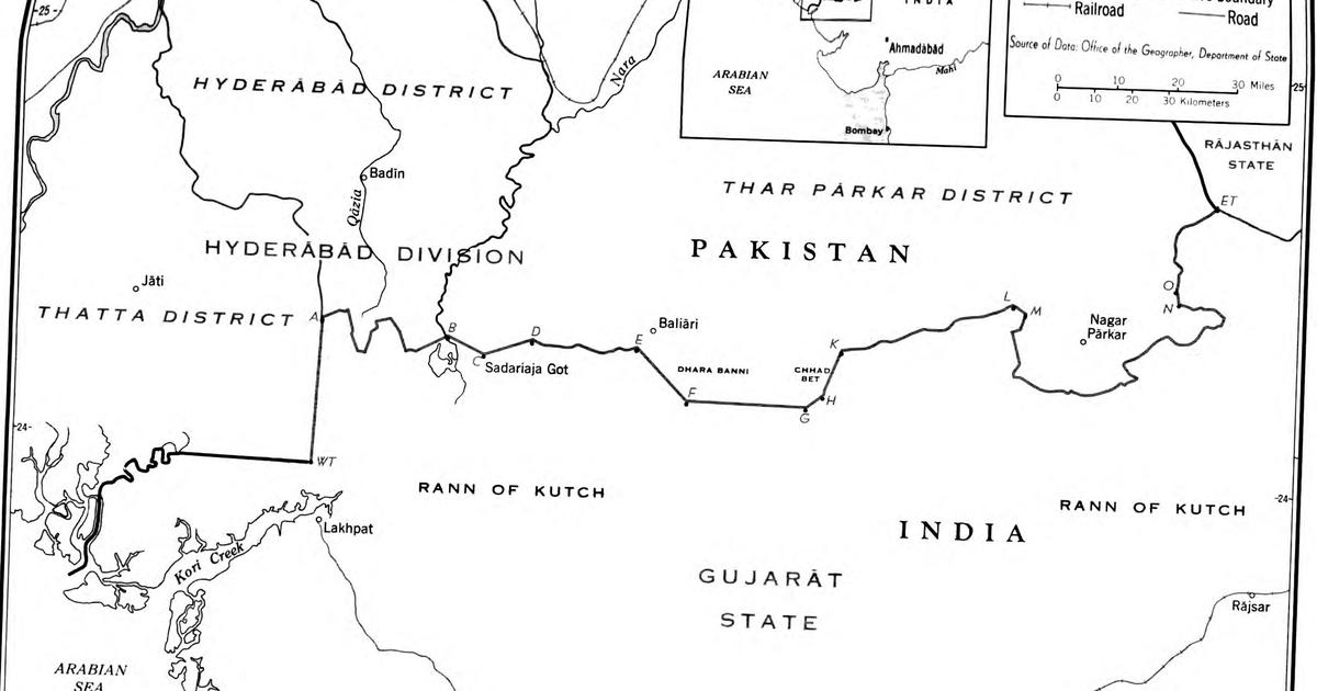
Following the 1947 Partition, Pakistan asserted sovereignty over the northern portion of the Great Rann of Kutch, an area spanning over 9,000 square kilometres. Islamabad justified this claim by arguing that the region functioned as a boundary lake or landlocked sea, necessitating a median border, and by citing historical administrative records from the Sindh province dating back to the British annexation in 1843. Tensions escalated significantly in January 1965 when Indian authorities from the Gujarat Police identified a 30-kilometre path constructed by Pakistani forces. This track extended from Surai into Indian territory, reaching as far as Kanjarkot. Much of this infrastructure was situated more than two kilometres within the Indian border, marking a critical point of friction that preceded the broader military conflict between the two nations later that year.
Source : Scroll.in
Photo : Scroll.in